Hesperia — Park City
Hesperia — Ellisville
Hesperia — Wallace
Hesperia — Gallagher
Hesperia — Sacramento
Hesperia — Lacona
Hesperia — Altamonte Springs
Hesperia — Ewell
Hesperia — Mount Storm
Hesperia — Hicksville
Hesperia — Mülküdərə
Hesperia — Geneva
Hesperia — Aldie
Hesperia — Fortson
Hesperia — Maud
Hesperia — Emlenton
Hesperia — Siesta Key
Hesperia — Millboro
Hesperia — Pecan Gap
Lytle Creek
Fontana
Rancho Cucamonga
Upland
Upland
Claremont
San Dimas
Glendora
Citrus
Azusa
Duarte
Monrovia
Arcadia
Sierra Madre
San Marino
Pasadena
Glendale
Burbank
Universal City
Van Nuys
Encino
Reseda
Hidden Hills
Calabasas
Agoura Hills
Westlake Village
Thousand Oaks
Thousand Oaks
Newbury Park
Camarillo
Oxnard
Ventura
Carpinteria
Summerland
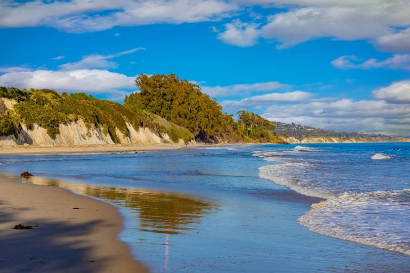
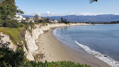
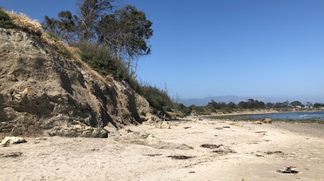
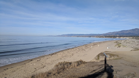
Santa Barbara County
Goleta
Hesperia — Park City
Hesperia — Ellisville
Hesperia — Wallace
Hesperia — Gallagher
Hesperia — Sacramento
Hesperia — Lacona
Hesperia — Altamonte Springs
Hesperia — Ewell
Hesperia — Mount Storm
Hesperia — Hicksville
Hesperia — Mülküdərə
Hesperia — Geneva
Hesperia — Aldie
Hesperia — Fortson
Hesperia — Maud
Hesperia — Emlenton
Hesperia — Siesta Key
Hesperia — Millboro
Hesperia — Pecan Gap
Lytle Creek
Fontana
Rancho Cucamonga
Upland
Upland
Claremont
San Dimas
Glendora
Citrus
Azusa
Duarte
Monrovia
Arcadia
Sierra Madre
San Marino
Pasadena
Glendale
Burbank
Universal City
Van Nuys
Encino
Reseda
Hidden Hills
Calabasas
Agoura Hills
Westlake Village
Thousand Oaks
Thousand Oaks
Newbury Park
Camarillo
Oxnard
Ventura
Carpinteria
Summerland
Santa Barbara County
Goleta
Hesperia — Isla Vista distance, route on the map
Distance by car
Distance between Hesperia, California, United States and Isla Vista, California, United States by car is — km, or miles. To travel this distance by car, you need minute, or h.
Route on the map, driving directions
Car route Hesperia — Isla Vista was created automatically. The road on the map is shown as a blue line. By moving the markers, you can create a new route through the points you need.
Passing cities through which the car route passes: Cajon Junction, Lytle Creek, Fontana, Rancho Cucamonga, Upland, Upland, Claremont, San Dimas, Glendora, Citrus, Azusa, Duarte, Monrovia, Arcadia, Sierra Madre, San Marino, Pasadena, Glendale, Burbank, Universal City, Van Nuys, Encino, Reseda, Hidden Hills, Calabasas, Agoura Hills, Westlake Village, Thousand Oaks, Thousand Oaks, Newbury Park, Camarillo, Oxnard, Ventura, Carpinteria, Summerland, Santa Barbara County, Goleta.
Distance by plane
If you decide to take a trip Hesperia Isla Vista by plane, then you have to fly the distance — 234 km or 145 miles. It is marked on the map with a gray line (between two points in a straight line).
Flight time
Estimated flight time Hesperia Isla Vista by plane at cruising speed 750 km / h will be — 18 min.
Direction of movement
United States, Hesperia — right-hand traffic. United States, Isla Vista — right-hand traffic.
Difference in time
Hesperia and Isla Vista are in the same time zone. Between them there is no time difference (UTC -7 America/Los_Angeles).
Interesting Facts
Information on alternative ways to get to your destination.
The length of this distance is about 0.6% of the total length of the equator.
The percentage of the population is clearly shown in the graph:
Hesperia — 73,640, Isla Vista — 23,096 residents (less by 50,544).
The cost of travel
Calculate the cost of the trip yourself using the fuel consumption calculator, changing the data in the table.