Morgan Hill — Reedley
Morgan Hill — Kennebunkport
Morgan Hill — Jay County
Morgan Hill — Ellenton
Morgan Hill — Champaign
Morgan Hill — Grand Prairie
Morgan Hill — Lexington
Morgan Hill — Wauneta
Morgan Hill — Cedar County
Morgan Hill — Robertsdale
Morgan Hill — Saint Charles
Morgan Hill — Elmira
Morgan Hill — Brookfield
Morgan Hill — Wiseman
Morgan Hill — Clarkdale
Morgan Hill — Youngsville
Morgan Hill — Hilton Head Island
Morgan Hill — Dearing
Morgan Hill — Tigerville
San Jose
San Jose
Alum Rock
Milpitas
Fremont
Sunol
Pleasanton
Dublin
San Ramon
Danville
Alamo
Walnut Creek
Pleasant Hill
Pacheco
Martinez
Benicia
Suval
Fairfield
Vacaville
Dixon
Davis
West Sacramento
Sacramento
Arden-Arcade
Rancho Cordova
Gold River
Folsom
El Dorado Hills
Cameron Park
Diamond Springs
Placerville
Path
Pollock Pines
Kyburz
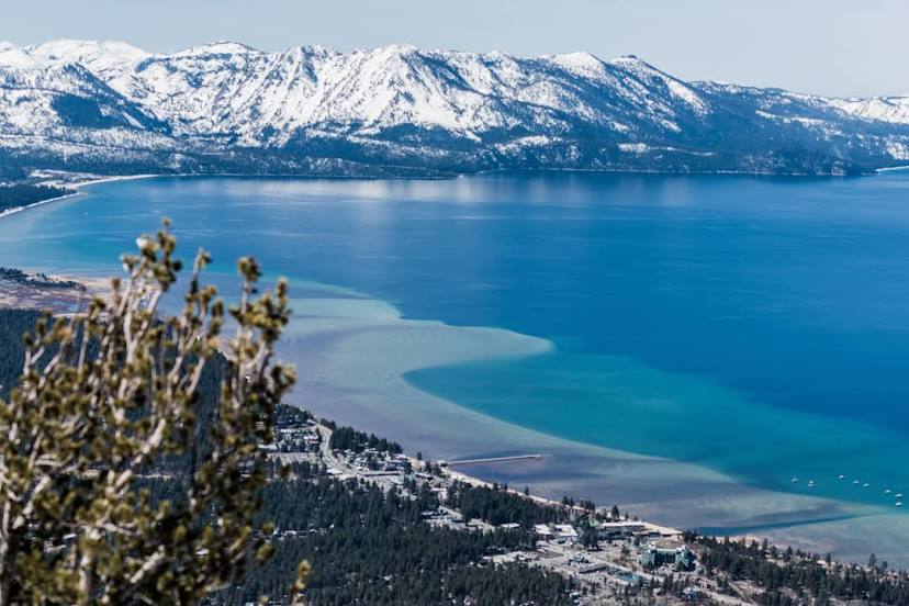
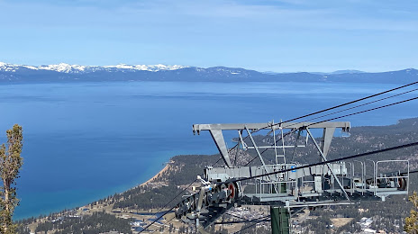
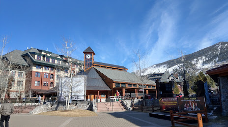
Morgan Hill — South Lake Tahoe distance, route on the map
Distance by car
Distance between Morgan Hill, California, United States and South Lake Tahoe, California, United States by car is — km, or miles. To travel this distance by car, you need minute, or h.
Route on the map, driving directions
Car route Morgan Hill — South Lake Tahoe was created automatically. The road on the map is shown as a blue line. By moving the markers, you can create a new route through the points you need.
Passing cities through which the car route passes: Coyote, San Jose, San Jose, Alum Rock, Milpitas, Fremont, Sunol, Pleasanton, Dublin, San Ramon, Danville, Alamo, Walnut Creek, Pleasant Hill, Pacheco, Martinez, Benicia, Suval, Fairfield, Vacaville, Dixon, Davis, West Sacramento, Sacramento, Arden-Arcade, Rancho Cordova, Gold River, Folsom, El Dorado Hills, Cameron Park, Diamond Springs, Placerville, Path, Pollock Pines, Kyburz.
Distance by plane
If you decide to take a trip Morgan Hill South Lake Tahoe by plane, then you have to fly the distance — 249 km or 154 miles. It is marked on the map with a gray line (between two points in a straight line).
Flight time
Estimated flight time Morgan Hill South Lake Tahoe by plane at cruising speed 750 km / h will be — 19 min.
Direction of movement
United States, Morgan Hill — right-hand traffic. United States, South Lake Tahoe — right-hand traffic.
Difference in time
Morgan Hill and South Lake Tahoe are in the same time zone. Between them there is no time difference (UTC -7 America/Los_Angeles).
Interesting Facts
Information on alternative ways to get to your destination.
The length of this distance is about 0.6% of the total length of the equator.
The percentage of the population is clearly shown in the graph:
Morgan Hill — 34,719, South Lake Tahoe — 23,925 residents (less by 10,794).
The cost of travel
Calculate the cost of the trip yourself using the fuel consumption calculator, changing the data in the table.