San Marino — Hawesville
San Marino — Olaton
San Marino — Morganton
San Marino — Granbury
San Marino — Manassas
San Marino — Eidson
San Marino — Brandamore
San Marino — Wellpinit
San Marino — Newton
San Marino — Emlenton
San Marino — Yukon
San Marino — Jetmore
San Marino — Groton
San Marino — Caneyville
San Marino — Wales Center
San Marino — Mackay
San Marino — Farragut
San Marino — Huntertown
San Marino — Friendship
Arcadia
Monrovia
Duarte
Azusa
Citrus
Glendora
San Dimas
Diamond Bar
Pomona
Chino
Ontario
LA/Ontario International Airport
Ontario
Riverside
Moreno Valley
Calimesa
Cherry Valley
Banning
Cabazon
North Palm Springs
Palm Springs
Thousand Palms
Indian Wells
Indio
Thermal
Cactus City
Blythe
Ehrenberg
Quartzsite
Buckeye
Goodyear
Avondale
Tolleson
Phoenix
Phoenix
Phoenix Sky Harbor International Airport
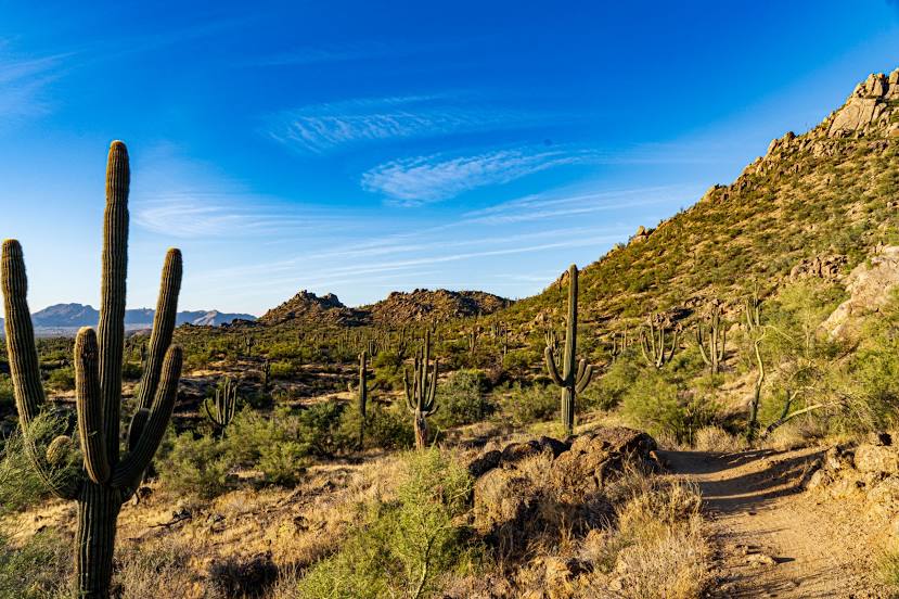
San Marino — Scottsdale distance, route on the map
Distance by car
Distance between San Marino, California, United States and Scottsdale, Arizona, United States by car is — km, or miles. To travel this distance by car, you need minute, or h.
Route on the map, driving directions
Car route San Marino — Scottsdale was created automatically. The road on the map is shown as a blue line. By moving the markers, you can create a new route through the points you need.
Passing cities through which the car route passes: Sierra Madre, Arcadia, Monrovia, Duarte, Azusa, Citrus, Glendora, San Dimas, Diamond Bar, Pomona, Chino, Ontario, LA/Ontario International Airport, Ontario, Riverside, Moreno Valley, Calimesa, Cherry Valley, Banning, Cabazon, North Palm Springs, Palm Springs, Thousand Palms, Indian Wells, Indio, Thermal, Cactus City, Blythe, Ehrenberg, Quartzsite, Buckeye, Goodyear, Avondale, Tolleson, Phoenix, Phoenix, Phoenix Sky Harbor International Airport.
Distance by plane
If you decide to take a trip San Marino Scottsdale by plane, then you have to fly the distance — 575 km or 357 miles. It is marked on the map with a gray line (between two points in a straight line).
Flight time
Estimated flight time San Marino Scottsdale by plane at cruising speed 750 km / h will be — 46 min.
Direction of movement
United States, San Marino — right-hand traffic. United States, Scottsdale — right-hand traffic.
Difference in time
San Marino and Scottsdale are in the same time zone. Between them there is no time difference (UTC -7 America/Los_Angeles).
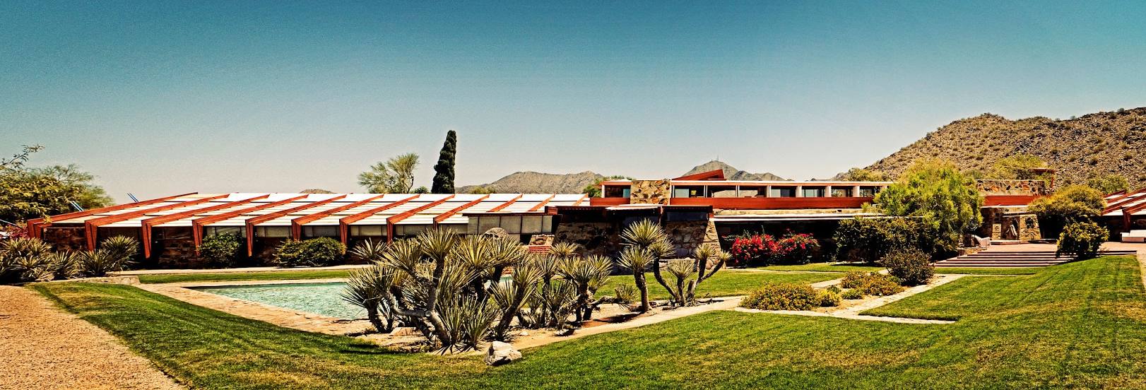
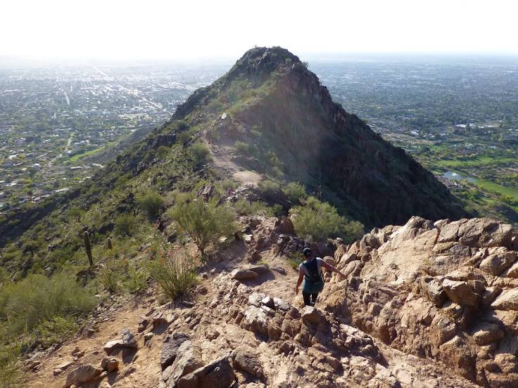
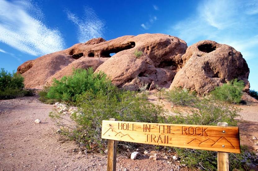
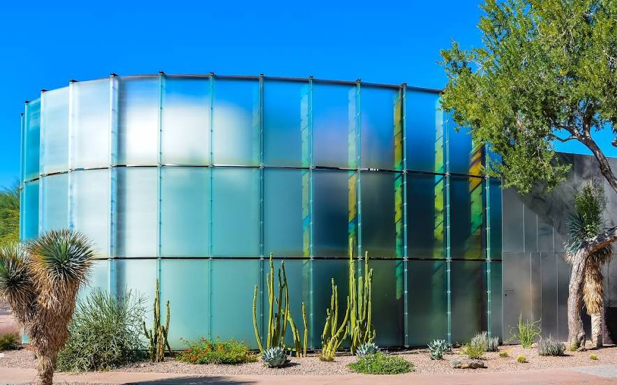
Interesting Facts
Information on alternative ways to get to your destination.
The length of this distance is about 1.4% of the total length of the equator.
The cost of travel
Calculate the cost of the trip yourself using the fuel consumption calculator, changing the data in the table.